|
|
|
 |
UPPER CLAPTONLatitude 51.5667. Longitude -0.0500. Altitude 62 feet |
 |
| UPPER CLAPTON Upper Clapton is situated in the northern part of the London Borough of Hackney and is bordered to the east by the River Lea, the north by South Tottenham, the west by Stoke Newington and the south by Lower Clapton. It boasts a diverse multi-ethnic thriving community and comprises shops, businesses, social and private housing,primary schools and a secondary girls' school. It also has two churches, a spacious park, a common including a pond,and of course the River Lea. Clapton also has a mainline British rail station but, as yet, no underground station. A very good selection of historic images of the area and other districts in Hackney can be found here @www.hackney.gov.uk. Further information and historical detail for Clapton Common and surrounding area can be found @http://www.dgbdgb.btinternet.co.uk/clapton/ For a more detailed description about Clapton and its history Click Here Or to search the British history site for more Click here |
 |
|
| Clapton's provision for young people includes a Rowing club, a canoing club, and sea cadets TS Bulwark The Stretch of the River Lea between Tottenham and Hackney http://www.ferrylane.org.uk/ Clapton message board |
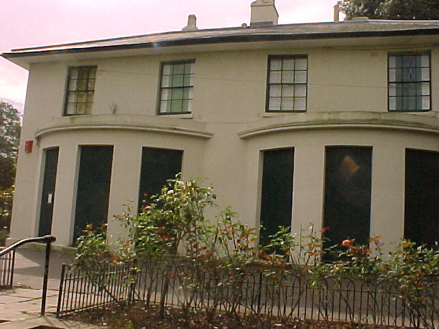
Springfield mansion(White house), Springfield park. 2002 The house was in a bad state of repair in 2002(picture above),it has reopened as a cafe and has always been a nice place to stop for a cup of tea and something to eat in Springfield Park,please visit their site at http://www.sparkcafe.co.uk/ |
|
Help Wanted |
Springfield Mansion 1900 In 1900 the White House was occupied by Mr Frank Collins, a builder. The picture shows a family group which is thought to be Mr.Collins' family Email Us: |
|